San Clemente Project
The following renderings were done as environmental impact images prior to construction documentation.
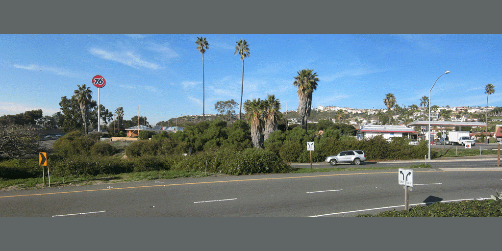
View from the freeway ramp.
Google Earth view from the freeway ramp.
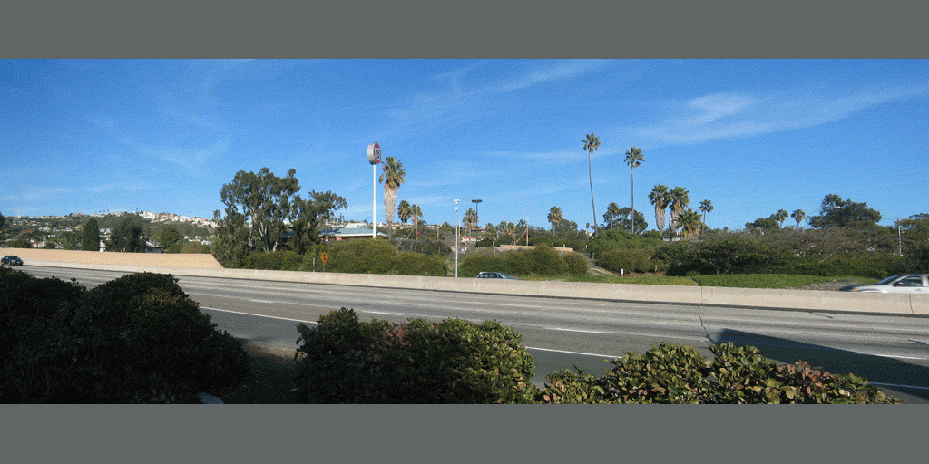
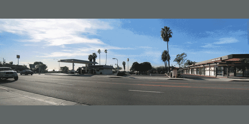
Freeway View
Google Earth freeway view.
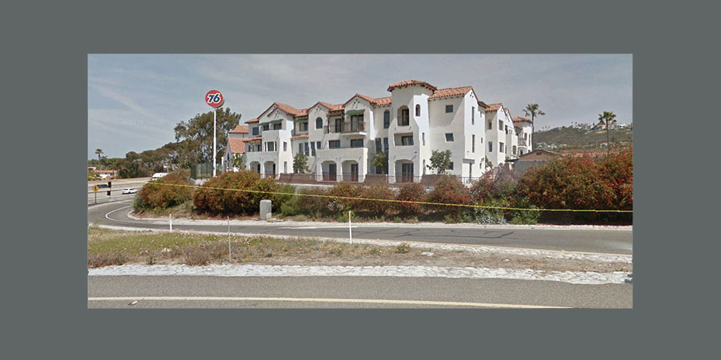
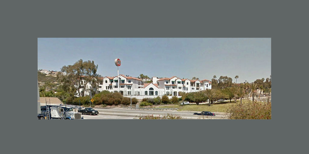
View from across the main street.
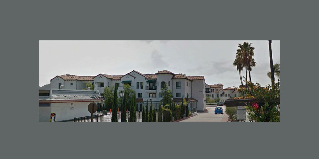
Google Earth view from the street.
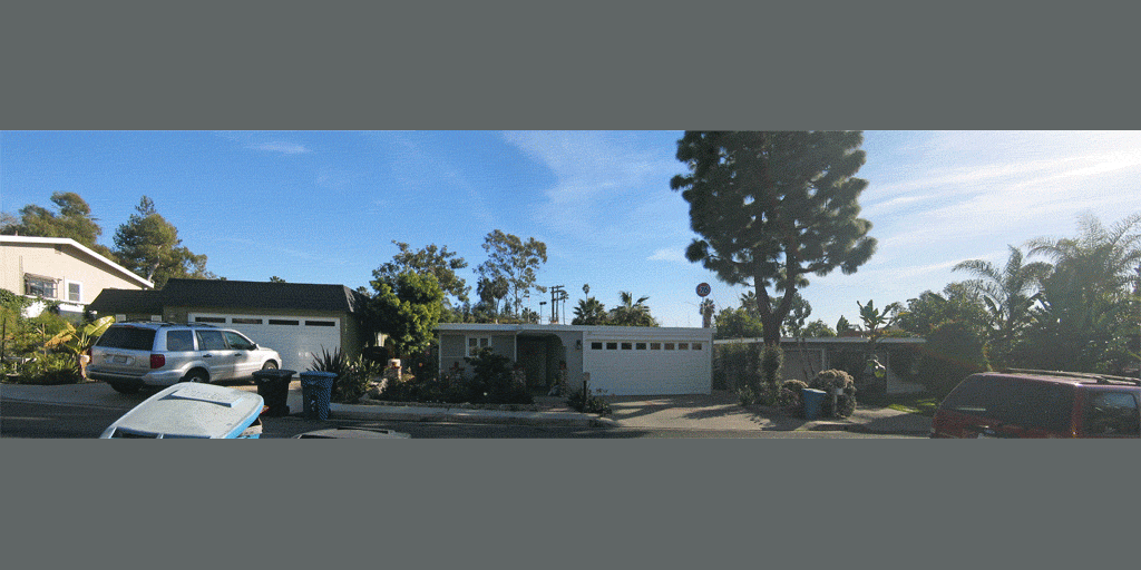
Two neighbors felt this view from the cul de sac was too optimistic.
The Google Earth view from the cul de sac.
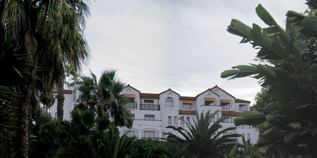
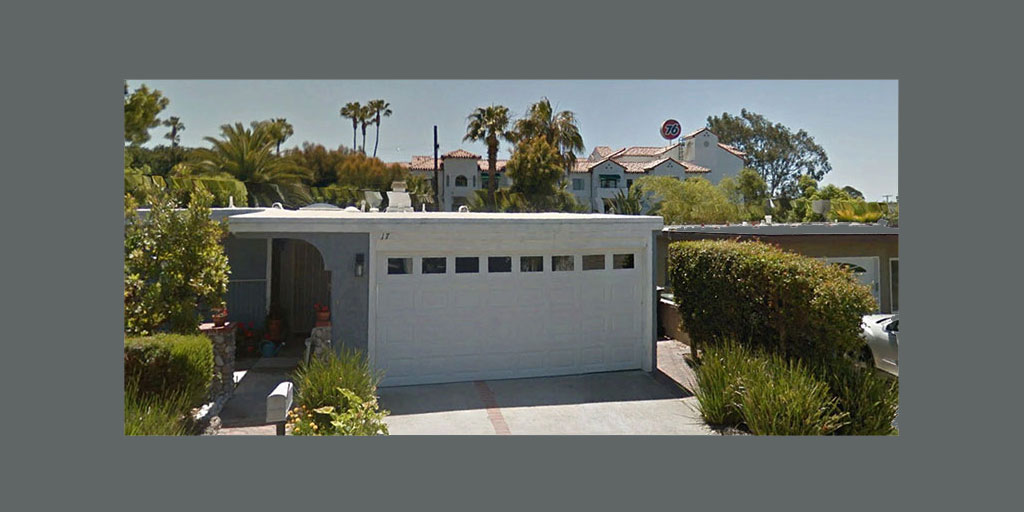
A backyard view to show actual visual intrusion.
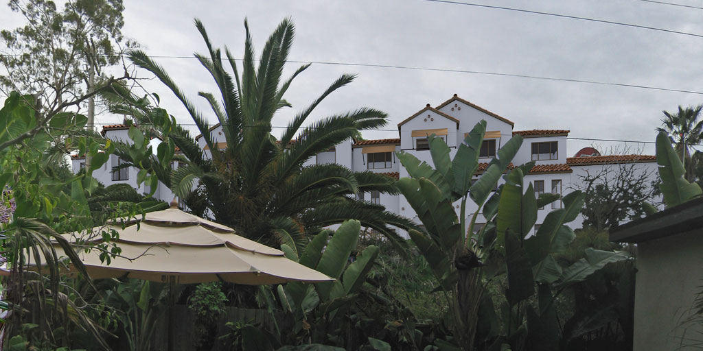
Another backyard view to show visual intrusion.
Map of Photographic View Points
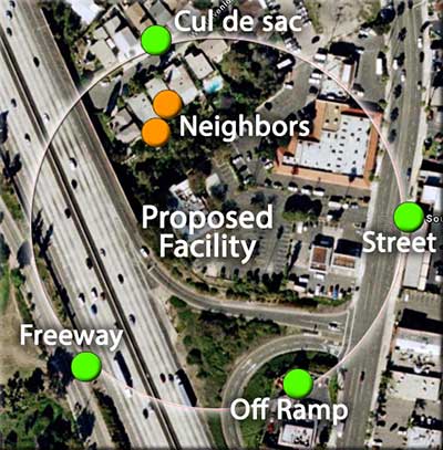
The initial background photographic station points are shown in green, and the two neighbors who disputed the cul de sac image, are in orange. Additional images were created from their backyards to show the effect of the proposed development. I also bought a theodolite for this project, to verify features and match existing conditions.
architecture © 2008 John Cotton Architects